
Post 09/04/24 Haworth
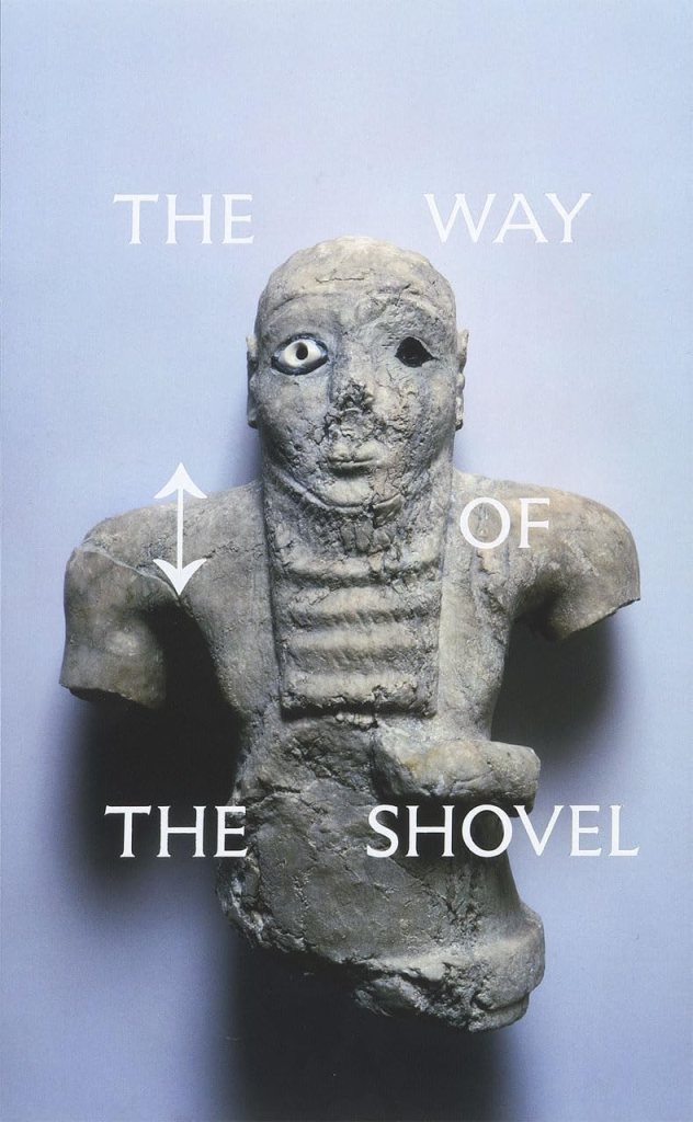
“Contemporary art is often obsessed with the new, but it has recently begun to turn to projects centering on research and delving into archives, all in the name of seeking and questioning historical truth. From filmmakers to sculptors to conceptualists, artists of all stripes are digging into the rubble of the past. In this catalog that accompanies an exhibition at the Museum of Contemporary Art Chicago in the fall of 2013, Dieter Roelstraete gathers a diverse range of international artists to explore the theme of melding archival and experiential modes of storytelling – what he calls “the archaeological imaginary” – particularly in the wake of 9/11. The Way of the Shovel offers a well-constructed balance among excursions into the situation of contemporary art, broad philosophical arguments around the subjects of history and the archive, and cultural analysis. Roelstraete’s opening essay maps the critical terrain, while Ian Alden Russell explores the roots of archaeology and its manifestations in twentieth-century art, Bill Brown examines artistic practices that involve historical artifacts and archival material, Sophie Berrebi offers a critique of the “document” as seen in art after the 1960s, and Diedrich Diederichsen writes on the monumentalization of history in European art. The book features work by both established and young artists, and thoughtful entries by Roelstraete accompany the exhibition catalog, along with statements from artists Moyra Davey, Rebecca Keller, Joachim Koester, Hito Steyerl, and Zin Taylor. The first exhibition to showcase this innovative approach to some of the most intriguing art of the past decade, The Way of the Shovel is indispensable for anyone seeking to understand the forces driving contemporary art.”

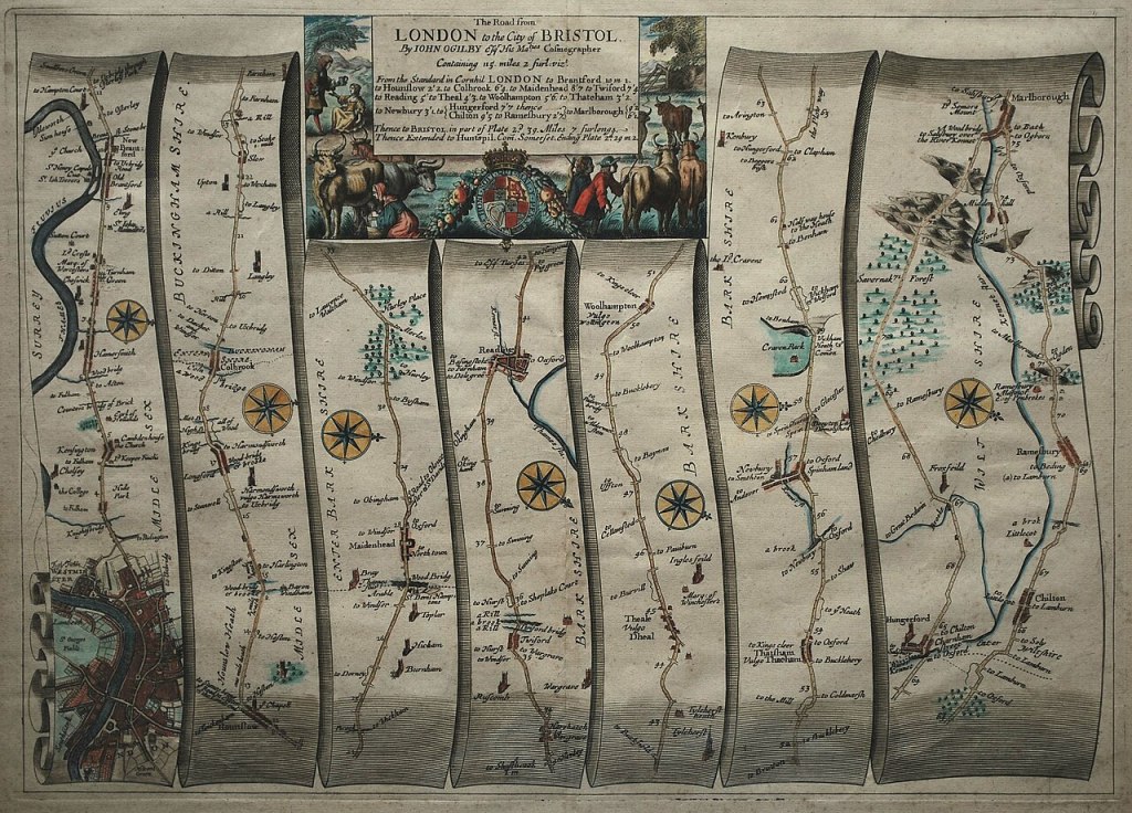
“John Ogilby, was born in Scotland in 1600, and held many different careers in his life; a dancing-master, theater owner, poet, translator, publisher and cartographer. He is most remembered for bringing English cartography into the scientific age with his 1675 road atlas of England and Wales titled, Britannia. To create the wonderfully detailed strip maps that displayed the topographical features and distances of the roads, Ogilby’s team of surveyors worked with the precise and easy-to-use perambulator or measuring wheel to record the distance of the roads in miles; implementing the standardized measurement of 1,760 yards per mile as defined by a 1592 Act of Parliament. They also used the surveyor’s compass or theodolite to better record the changes in the directions of the roads. Besides the use of scientific instruments, Britannia was also the first published work to use the scale of one inch equaling one mile, which became the prevailing scale for cartography. Through the use of detailed illustrations and precise technology, Ogilby’s Britannia became the first comprehensive and accurate road atlas for England and Wales, making it the prototype for almost all English road books published in the following century.”
1st image and text reproduced from https://blogs.lib.ku.edu/spencer/ogilbys-britannia-bringing-english-cartography-into-the-scientific-age/ (accessed 10/03/24). Map https://commons.wikimedia.org/wiki/Category:John_Ogilby_%281675%29_Britannia_Atlas#/media/File:John_Ogilby_-_The_Road_from_London_to_the_City_of_Bristol_(1675).jpg (accessed 10/03/24)
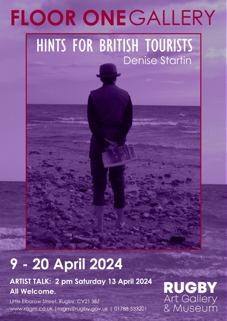
 denisestartin.co.uk
.jpg)