
Rocky Valley, Yorkshire Moors
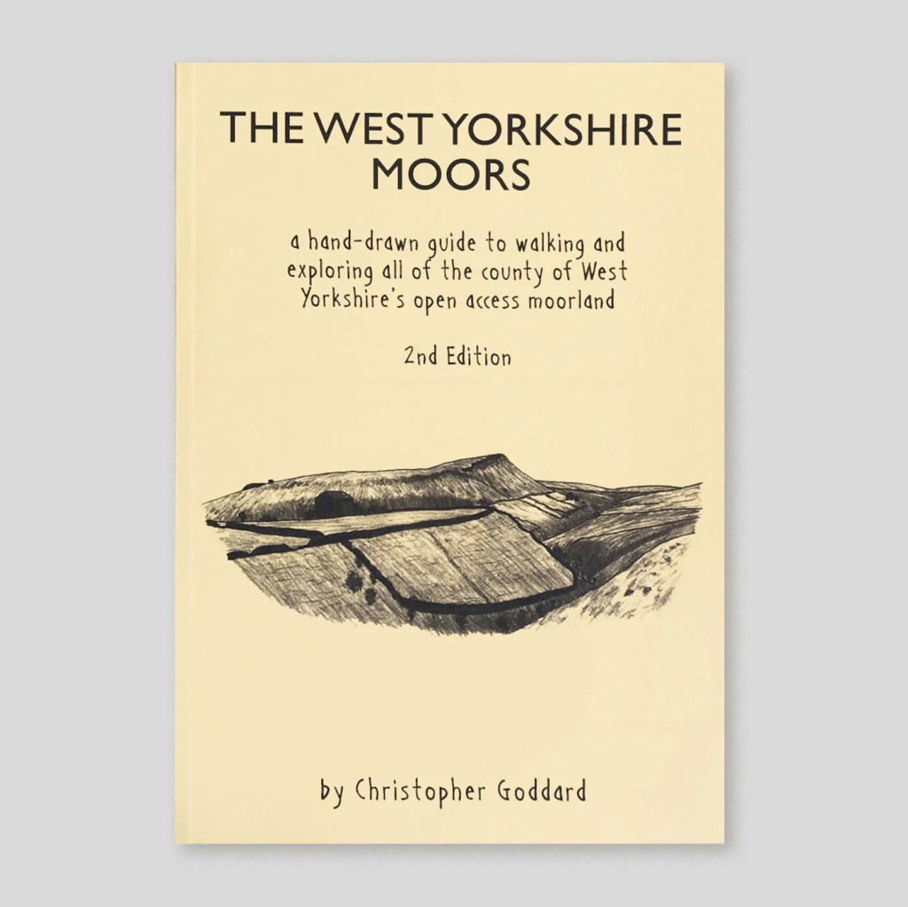

The West Yorkshire Moors is an original cartographic guide to the moorlands of West Yorkshire. The book traces old and new paths, unearths lost names and discovers hidden features on even the most apparently empty corner of these moors. There are extensive notes and sketches of the area’s history, wildlife, folklore and etymology. Twenty-nine suggested routes are included, most of which are accessible by public transport. These moors stretch from Ilkley, Keighley and Bingley in the north to Holmfirth, Marsden and Meltham in the south. This new edition of the book features amended and digitally remastered maps, and several new sketches. All the routes have been updated, with two brand new ones added.
Image & text reproduced from https://christophergoddard.net/product/the-west-yorkshire-moors/ (accessed 11/12/24) Book available from website
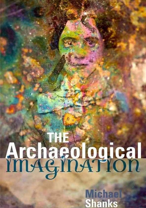
In his book Shanks offers the following definition: “To recreate the world behind the ruins on the land, to reanimate the people behind the shard of antique pottery, a fragment of the past: this is the work of the archaeological imagination, a creative impulse and faculty at the heart of archaeology, but also embedded in many cultural dispositions, discourses and institutions commonly associated with modernity. The archaeological imagination is rooted in a sensibility, a pervasive set of attitudes toward traces and remains, towards memory, time and temporality, the fabric of history.” pp.25
Text reproduced from https://www.google.co.uk/books/edition/The_Archaeological_Imagination/a6tJDAAAQBAJ?hl=en&gbpv=0 (accessed 13/08/23)

“Poly-Olbion is an expansive poetic journey through the landscape, history, traditions and customs of early modern England and Wales. Originally published in two parts (1612, 1622), it is also a richly collaborative work: Michael Drayton’s 15,000-line poem, which navigates the nation county by county, is embellished by William Hole’s thirty exquisite engraved county maps, and accompanied for its first eighteen ‘songs’ by the young John Selden’s remarkable prose ‘Illustrations’. Drayton was a close associate of Shakespeare and Ben Jonson, and his Poly-Olbion crystallizes early modern ideas of nationalism, history and memory.”
Image and text reproduced from https://poly-olbion.exeter.ac.uk/ (accessed 09/07/23)
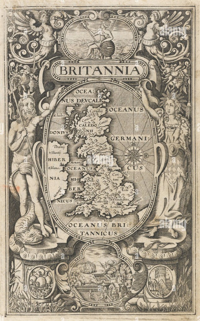
“A map of England, Wales, Scotland eastern Ireland, in an oval supported by Neptune and Ceres, with vignettes of Britannia sitting on a rock, a ship, St Paul’s Cathedral, and Stonehenge and the Roman Baths. On the map London and York are marked, but most of the other names are tribes. This frontispiece was one of three maps engraved by William Rogers (c.1545-c.1604) for the 1600 edition of William Camden’s ‘Britannia’, the fifth edition of the work, yet the first to contain maps. It was not until 1607 that a full suite of county maps was included, alongside a larger version of this map, engraved by William Hole.”
Text reproduced from https://www.abebooks.co.uk/servlet/BookDetailsPL?bi=31158455803&cm_mmc=ggl--UK_Shopp_RareStandard--product_id=bi%3A%2031158455803-_-keyword=&gclid=CjwKCAiApvebBhAvEiwAe7mHSKrgSaHbIJ-gLMONnS4zfobOGGL_kNcSs86HQENjxVf97aIYKEEEchoCF4YQAvD_BwE (accessed23/11/22)
